As we approach the 75th anniversary of D-Day, McElfresh Map Company honors the Engineer Model Making Detachment. All of these mapmakers knew where the D-Day landings would come, more than a year before June 6, 1944. They were working class and middle class, British and American, men and women. They came from unlikely civilian backgrounds to be providing indispensable military services. They were painters, sculptors, scene designers, ornamental plasterers, architects, draftsmen, cabinet makers, carpenters, geographers, teachers, metal workers – there were even toy designers.
The American members were officially in the U. S. Army Corps of Engineers. The women were the British Women’s Auxiliary Air Force (W.A.A.F) and the other men were part of what was known as V-Section, the Royal Air Force (R.A.F.).
We also honor the pilots that took part in the intensive aerial photographic missions. Their high altitude photographs were pieced together as mosaics, creating de-facto maps. Innumerable flights were flown over occupied Europe by aircraft equipped with twelve inch Fairchild cameras, K17 six inch cameras for multiplex mapping and K18 twenty-four inch cameras for large scale coverage. Spitfires, P-38 Lightnings and Mosquitos flew the missions. At times, they swooped down low to capture oblique photographs, and the planes returned to England with foliage caught in the fuselage.
These were ordinary people in extraordinary times doing amazing things in a war the world absolutely needed to be won.
Olean,
NY—June 2, 2019–McElfresh
Map Company LLC of Olean, NY is delighted to announce that a number of the
company’s original hand-drawn manuscript maps will be on display at an exhibit
at the Cattaraugus County Museum and Research Library in Machias, New York. The
exhibit will open June 8, 2019, with a presentation by Earl McElfresh at 1 p.m.
The exhibit, Mapmaker: The work of Earl McElfresh and the
McElfresh Map Company will feature a wide selection of maps including the
two part Gettysburg Map, the three part D-Day Map, the Little Big Horn Map and
Pearl Harbor Map among others.
Mr.
McElfresh said, ‘It will be wonderful to see these maps on display. Each map
was a daily companion for months and months as it sat on my desk as a work in
progress. But as soon as a map was completed it got shipped off for publication
and thereafter the manuscript map was shelved away. I never really had a chance
to look at or appreciate the original map again.”
Origins of the Company and Breakthrough Developments
Mr.
McElfresh’s presentation will describe the origins of the map company, where
his interest in mapping came from and a little background information on some
of the displayed maps. It will include a description of the resources that were
used to accurately and dramatically replicate the landscapes where armies met,
fought and made history.
“As I
completed the maps, I made careful notes of my process including the resources
that I relied on for accurate data. I also detailed the efforts our company
made in selling and distributing the maps,” Mr. McElfresh said. “Reading over
my notes to prepare for this talk has been very intriguing and rather
impressive to recall the consistent collaborative efforts and commitment my
wife, Michiko, and I made to establish our map company as a viable business.”
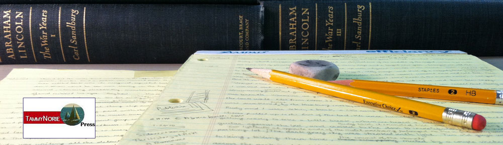
Incidentally, this map exhibit coincides with the fiftieth anniversary of a transatlantic ocean crossing that Mr. McElfresh and his family made on a 40 foot sailing ketch. His father, a US Navy PT Boat skipper in the Pacific during WWII, navigated the yacht Tammy Norie relying on essentially the same technology that Columbus used on his voyage: a sexton, the sun and the night stars. The trip that started in Woodbridge, Suffolk, England, took the Tammy Norie to Madeira across the Atlantic to Bermuda and then to the vessel’s home port in Essex, CT. Mr. McElfresh attributes some of his interest in maps to that experience and this voyage.
Biographical Information
OLYMPUS DIGITAL CAMERA
As
cartographer for McElfresh Map Company, Earl B. McElfresh prepares historical
base maps. He is the author of Maps and Mapmakers of the Civil War (Abrams,
1999) and contributing editor for the 2007 edition of Company Commander by
Charles B. McDonald. He prepared maps for Library of America’s four volume
Civil War set and for Lincoln’s Lieutenants by Stephen Sears.
The
United States’ pre-eminent historians including Shelby Foote, Stephen Sears and
James B. McPherson have acclaimed Mr. McElfresh’s maps. During its 26 years in
business, the company has sold well over a quarter of million maps. Mr.
McElfresh has given presentations on Civil War mapping at a number of venues
including The Smithsonian, The National Archives, The Library of Congress, The
New York Public Library, The Harvard Map Collection, The Warburg Institute in
London, National Geographic and on C-Span Book TV. A number of his maps were previously
on display at the Quick Arts Center at St. Bonaventure University.
He and his wife live in Olean, New York and are the parents of three adult children.
Time did not allow me to answer all of the questions of the American History Class at Olean High School, but I did respond to them by e-mail. The first and second question were:
What information do you use to draw the maps? Do you use photos along with studying the landscape? What else do you use? How do you decide if the information is reliable or legitmate?
I had to give a rather long answer to the question:
I use contemporaneous photographs, taken within days of some of the major battles (Antietam, Gettysburg e.g.). I got a Cornell agronomist (a crop expert) to study the panoramic photos of these fields to determine the crops in the fields. It was easy to figure out what type of fencing there was, where the orchards were, the extent of the woodlands etc. Essential to the use of these photographs was the 1970’s work of William Frassanito, who painstakingly determined the point-of-view and location of each extant wartime photograph of Gettysburg and Antietam.
Then I used regimental histories – each regiment would occupy a small sector of the battlefield and their accounts and maps would show their particular sector in great detail. The soldiers’ diaries and letters (this was probably the most literate war in history) also contain many references to their immediate surroundings. Many of them were themselves farmers and they would frequently comment on the crops and fields, fences, barns and orchards. The most poignant research items were “burial” maps. Dead men were often buried right where they had fallen by their fellow soldiers, who were usually their townsmen, friends, even relatives. They would then send the family a very detailed map so they could journey to the battlefield, locate the body and bring it home for burial.
On the major battlefields such as Gettysburg, Antietam, Stones River in Tennessee, the National Park Service has tons of data that they gladly make available to a researcher.
As I mentioned in the class, aerial photographs are very revealing if you know what you’re looking for. If I have a reasonably good Civil War era map and it shows a road or a lane that’s vanished, or a barn or a house, if you look very carefully, you can find a footprint or a trace of it. Also, the skeleton features in the landscape – the rivers, streams, hills, principal roads etc. – are obviously extant features on todays extremely accurate USGS maps. So those features are immediately drawn on my map so I immediately have a framework to go by. And the maps drawn and used by the actual Civil War armies, while not terribly accurate in terms of exact distances etc., are full of the sort of information the armies needed. They needed the name of residents along the roads because there were no route markers and there were not normally formal names for a given road or lane so the surest way to get reliable directions was to get pointed toward the Smith’s house or the Jones farm. Documenting the residents also gave the armies a idea of the local population. The more residents there were, the more resources there were for the armies to live off. (Union General Sherman set off across Georgia on November 16,1864 saying, “Where a million Georgians can live, my army will not starve.) The armies also had to know where they could find corn fields, wheat fields, orchards, hay fields, wells, springs etc. because an army on the march needed to feed 30, 40, 50 thousand men and thousands of horses and mules. A typical mule would drink 10 gallons of water a day. Multiply that by 10,000! A Civil War army (and it didn’t matter whether they were friends or enemies, Union or Confederate) would devastate any countryside they marched through. They would take all the food for themselves and all the forage for their animals, drink the wells dry, destroy the fields they camped on, empty the barns, clear out the larders, tear down all the fences (to make their camp fires to brew their coffee) and raise havoc generally. But the armies need to live off the land is great for mapmakers because their military “route” maps detailed this sort of food and forage information so the armies knew where they could march and fend for themselves.
A great aid in mapping Gettysburg was the work of John Bachelder, who arrived in Gettysburg immediately after the battle. Bachelder marched up and down the field, mapping it, and he had as a resource the thousands of wounded soldiers, Union and Confederate, remaining behind, who he interviewed. His map, a birds-eye view of the field, was very reliable and valuable.
There were also quite accurate published county maps available of some areas, including Gettysburg, published prior to the Civil War that I could make use of. (They were also made use of by the armies and the generals.) Also, soon after the war, the U.S. War Department prepared surveys of many of the major battlefields. These maps were much more detailed and accurate than the maps made under wartime conditions. (The U.S. hired former Confederate mapmakers to work on these surveys. One Rebel named Blackford, who’d sworn he would die rather than live again under the stars and stripes, found himself, within a month of Appomattox, working for the U.S. Army mapping the battlefields.)
Finally, most every Civil War battlefield has people who have devoted their lives to studying “their” battle. They know every nook and cranny of the field and like nothing more than to guide someone around the field, point out sites, recommend books and resources, provide access private lands and to other knowledgeable locals, and in some cases they fix parking tickets.
There are other resources but the above provides a pretty good idea of what’s out there. I decide on the reliability of the information based on the resource I used. Photographs, for example, are irrefutable – at least back then they were, before photoshop – and other data would often be corroborated by some other data. And then you have to wonder why anybody would mislead about the existence of a stone wall or the presence in their front of a rye as opposed to a wheat field.