Seeing my hand drawn historical maps on display has given me the impetus to take a look back at the incidents and experiences in my life that impacted and influenced my interest in maps and my career as a mapmaker.
The transatlantic voyage of the Tammy Norie was a major influence in my map making, but a singular inspiration in my interest and love of history came from a trip I took with a friend.
Growing up in a small town in rural upstate New York about 350 miles away from New York City, Manhattan was always in the back of my mind as the most glamorous place in the world to live and work. My shining city on the sea.
A Toddler’s View of New York
I was introduced to New York life when I was just a toddler. My mother, sister and I accompanied my father to a PT Boat reunion in New York. He had captained PT 490 in the Pacific Theatre during WWII. He was a highly decorated officer, winning a silver and a gold star. His fellow skipper was Joe Moran of Moran Tugboats.

During the reunion our family was entertained at the Moran home in New York’s most exclusive neighborhood–Sutton Place. This was my beau ideal of New York–and probably everybody else’s.
A College Grad’s View of New York
Skip ahead twenty odd years. Forget Sutton Place. I lived in a third floor walk up on East 74th Street between 2nd and 3rd Avenues. Working as an expediter for a furniture company in the D&D Building, Bloomingdale’s was nearby. I earned enough money to eat and live in a decent neighborhood in Manhattan. Making my own way, on my own terms, managing a comfortable existence–something that would not be remotely possible today.
My mother was visiting one day and we ran into a college friend of mine who I had lost touch with, Zachary Kent. He was working in New York and living in New Jersey. Zach had a car.
Zach invited me to accompany him on a trip to Gettysburg that he had planned. I had always been interested in history but concentrated primarily on English and British history—possibly—indeed certainly, because of The Beatles. After months in a small, cramped apartment, however, a car ride into the country, any countryside, anywhere, sounded like a wonderful plan. So. Gettysburg? Yeah. Great. Never been there–our family trips were always sailing adventures. Dramatic? Yes. But always along the coast and on the water.
A View of Gettysburg
Once in Gettysburg, and on the battlefield we began our tour at the copse of trees where Pickett began his charge and advanced across the open fields toward the stone wall at the foot of Little Round Top where the Union Lines were located. That experience was a historic epiphany for me. The vividness of that trek, essentially changed my life and made me a Civil War Historian. History had never been so tactile for me. It wasn’t words on a page or pictures in a book. This is where it happened, these were the actual rocks, this was the actual place. Dramatic? Yes. I more or less took a deep breath and to be honest have never really exhaled.
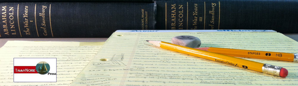
Zach and I went to the book store at the battlefield–and always a big reader–I bought a few books, not realizing that Civil War books would engulf my library, indeed my life. But the problem was when I read the books, I had to hand draw sketch maps to properly comprehend and mentally visualize the complex and often bewildering movements and actions that I was reading about and trying to understand in the histories.
At some point I had purchased a Carmen Cope map of the Antietam Battlefield. Cope had been a veteran of the battle. It was a large map and very detailed, it fully documented the battlefield, but in black and white it very accurately depicted, but failed, I thought to appropriately dramatize the field. And my immediate thought was,” I wonder if I can do something about this, maybe I can sketch in a few trees, draw in some corn stalks, color in a few fields….”
